Research Themes
Check out some of the areas within geoscience we are currently into (in no particular order). For each sub-field, I have listed three broad research questions I am interested in addressing. I am always open to learning new ways to answer these – or, even better – answering newer and bettter research questions!

Fluvial Systems
(1) To what extent are rivers reliable tape recorders for external forcings, and at what spatial and/or temporal scales? (2) How can both erosional and depositional landforms provide quantitative constraints on large-scale driving forces, such as tectonism (river profiles, stream power) or climate (grain size, paleohydrology)? (3) When do other localized processes (lithology, faulting) control channel morphology?
Image credit: u/anywherebutarizona on Reddit
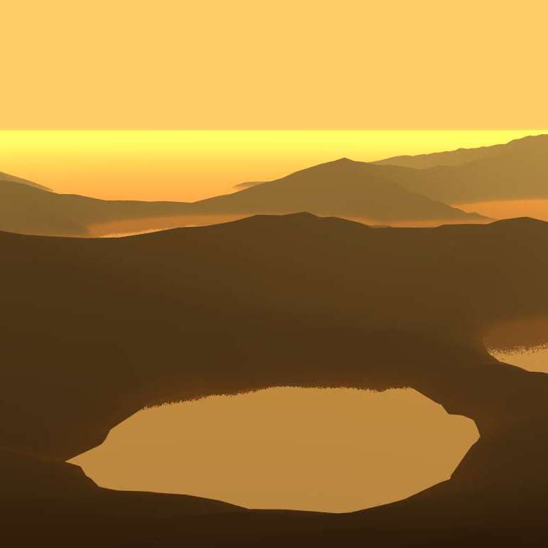
Lakes & Hydrology
(1) How much water was required to generate lake systems, and for how long did these aqueous systems persist? (2) What other processes are associated with these systems, such as catrastrophic outflow, weathering, and biology? (3) What are the interactions between evaporation, preciptiation, and groundwater of liquid flow on early Mars or present-day Titan, and how does this vary spatially?
Image source: Cronodon.com

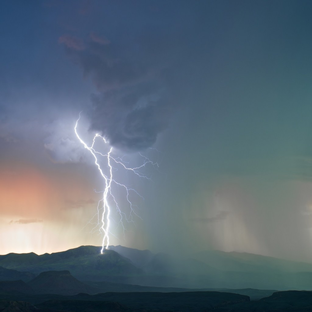
Volcanic Terrains
(1) Where have volcanic processes created new topography that allows us to explore how surfaces form and evolve (i.e., the best natural labs)? (2) How can we use various dating techniques to provide accurate temporal constraints on surface evolution? (3) Where and how is drainage formed, and how can interaction with active volcanism affect their shape and evolution?
Image source: Wallup.net
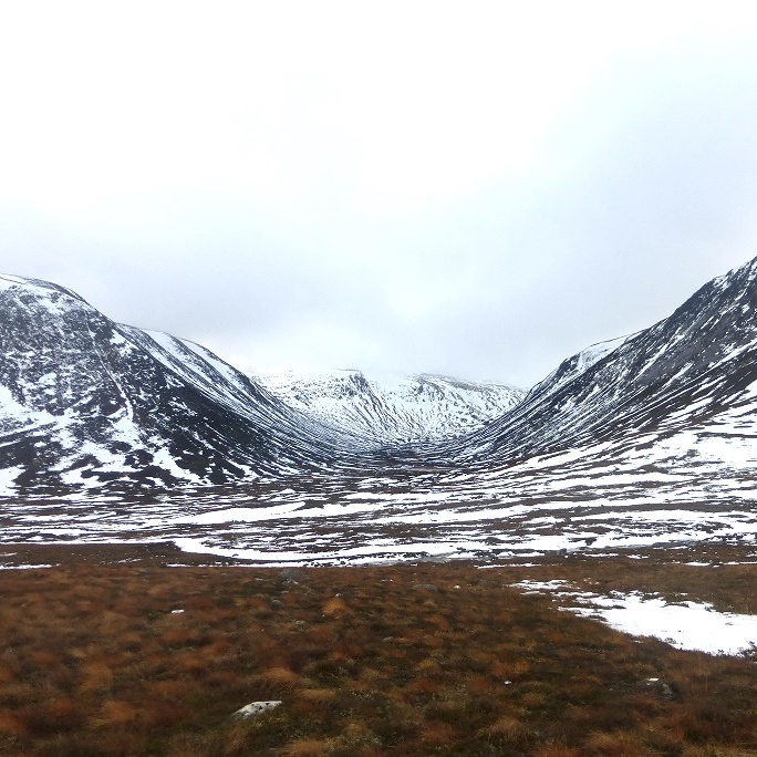
Glaciated Landforms
(1) Post-glacial landscapes like Iceland contain strong signals of glacial modification: do rivers also play an important role in generating relief? (2) What is the relative importance of gradual erosion vs. catastrophic, subglaciallly sourced floods (e.g., jökulhlaups) in generating massive canyons? (3) How do hydro- and cryo-spheres interact and how can we better distinguish their erosional footprints?
Image source: Climb It Range Blog
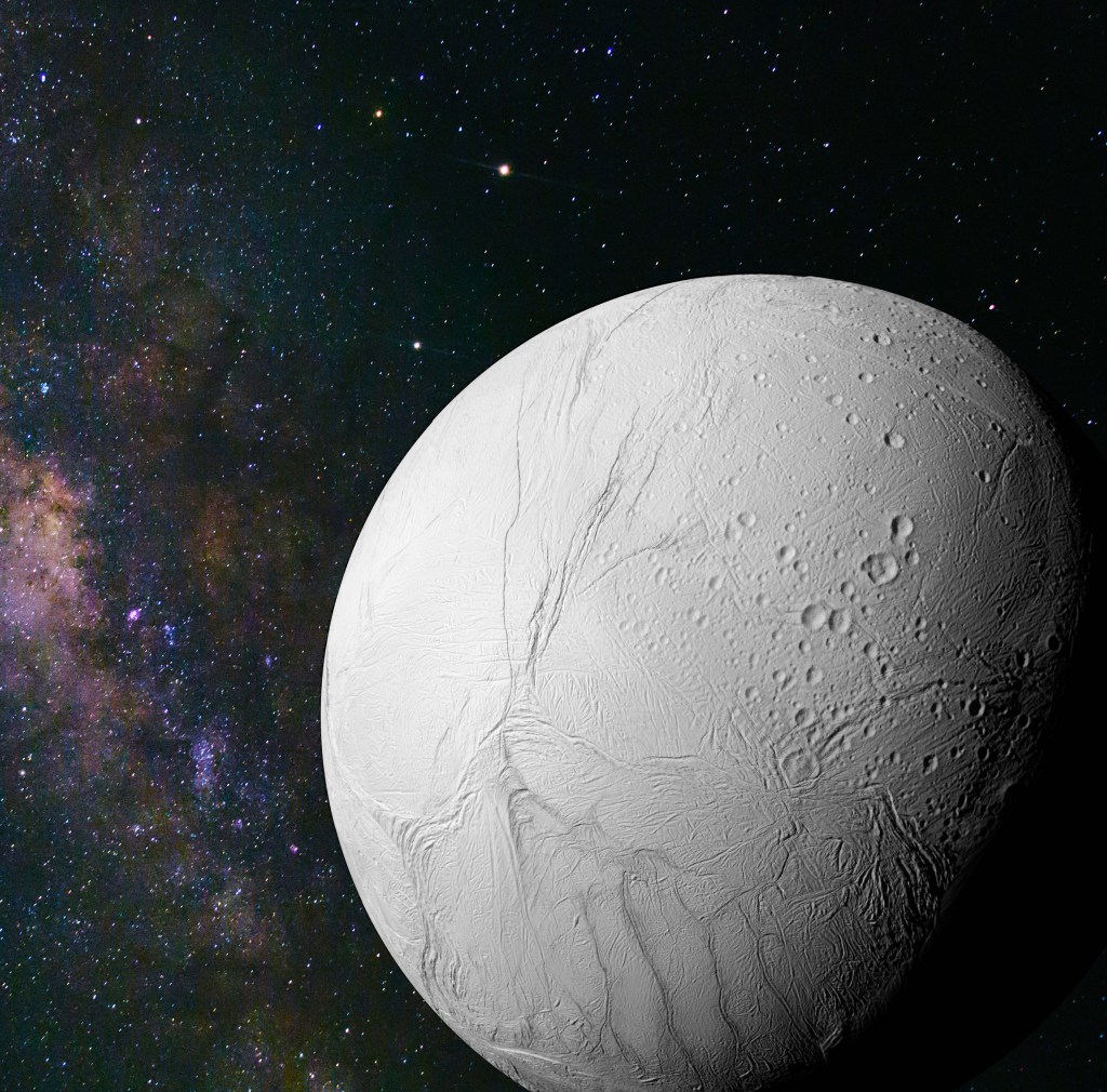
Icy Satellites
(1) Further into the outer Solar System, how do icy moons such as Enceladus or Titan record vigorous geologic activity? (2) Can we use relationships between ubiquitous cratering records and other surface expressions that hint to planetary processes e.g., plumes or groundwater recharge? (3) How similar are processes in alien worlds and how far back can we deconvolve their history?
Image credit/source: NASA / Warwick.ac.uk
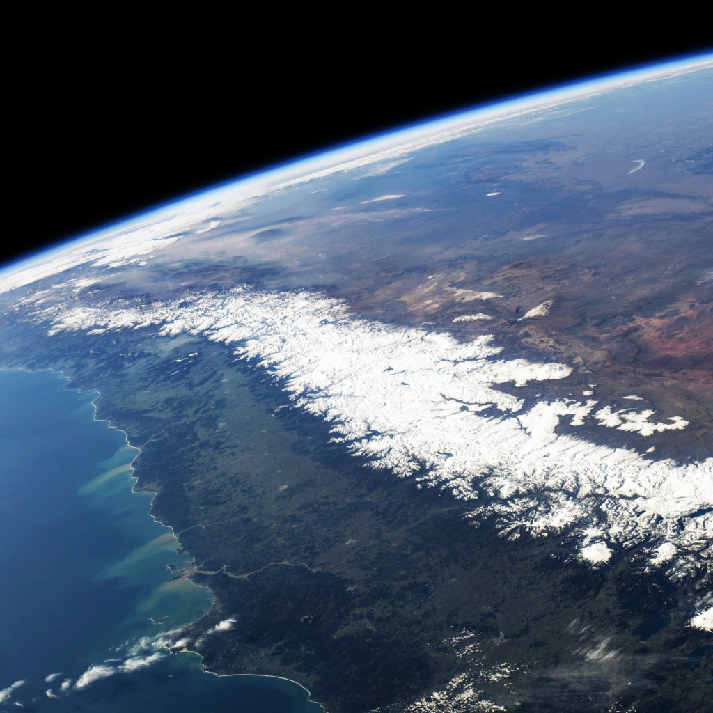
Uplift & Dynamic Support
(1) How is mantle convection recorded in river systems, and can river geometries be used to probe processes such as plume evolution? (2) How do rivers adjust to rapid changes in vertical motion, either due to glacial isostatic adjustment or sea-level changes? (3) In complex locations such as Iceland, how can different, scale-dependant sources of uplift be deconvolved to isolate different contributions?
Image credit: Rankin on flickr
Climate-Land Links
(1) What role does the climate play in constructing a landscape, and can we say something about future changes? (2) How is climate expressed in geological hazards such as landslides or coastal environments, among others? (3) How important is precipitation in determining how a surface evolves, and does rainfall intensity or variability dicate rates of modification over geological periods?
Image source: wallup.net
Landscape Evolution
(1) What physical parameters are needed to describe a realistic watershed, and does this vary over different wavelengths? (2) How can we adapt these for other planetary bodies, e.g., Mars or Titan, which have potentially simpler, but poorly constrained, hydrospheres? (3) At smaller scales, how can sediment transport or block toppling models be calibrated and used to infer geomorphic histories?
Image credit: Barnes (2019)


Weathering & Alteration
(1) How can alteration of minerals in martian lake environments shed light on water quantites and timescales of aqueous processes? (2) How do processes such as soil formation and porosity reduction affect hydrology in new volcanic surfaces? (3) What is the relative contribution of physical vs. chemical weathering in setting modification rates, and how does this vary over different climates?
Image credit/source: NASA/JPL-Caltech (pixels.com)
Remote Sensing
(1) Where can we detect changes in the surface, and how can instantaneous modification be used to inform process and rates? (2) Where can 3D, high-resolution drone models be built to inform our understanding, and how can this aid geomorphic and geological mapping? (3) How can we integrate different datasets, images, topography, spectrometry, to inform surface driving forces?
Image source: Explora Tips & Solutions

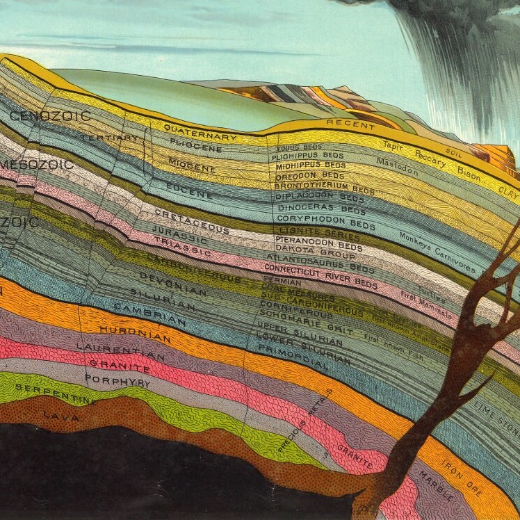
Dating Tools
(1) How do erosion rates (e.g., from cosmogenic dating) vary over space and time – and what sets them? (2) Can we use absolute temporal contraints to fine tune landscape evolution, and where are the best places to source these? (3) How can different dating techniques be reconciled to shed light on complementary processes (e.g., rates of deposition, waterfall retreat, incision, and burial)?
Image credit/source: L. W. Yaggy / Smithsonian
