Visualization
Play around with some of our surface models in SketchFab. There are lots more to check out. Here’s an example below of Parana Basin, with mapped valleys and a paleolake. Feel free to press play and explore!
Codes
The best place to check out any usefule codes, both for publications and other projects is my GitHub page:
As an example, here is our latest project by me and Emily Bamber (UT Austin):
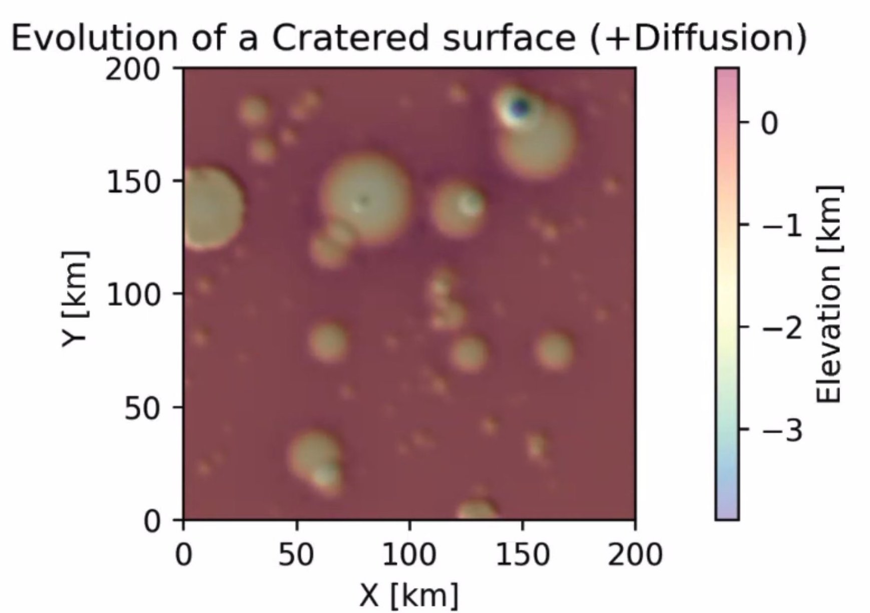
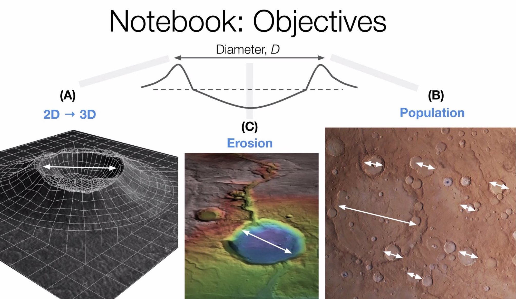
Cratering Notebook
A a Jupyter notebook for simulating a population of impact craters on a given planetary surface, where the topography is a LandLab model grid object. Users go through a series of steps to construct realistic landscapes that also include hydrological evolution. This was constructed during the ESPIn Summer School.
Digital Elevation Models (DEMs)
Check back for when there any DEMs available for download [coming soon, where soon = when my back-up drives start working].
Data Repositories
Coupled Lake Systems (Mars) and runoff
Stucky de Quay, Gaia, 2021, “Replication Data for Stucky de Quay et al. (2021) in GRL”, https://doi.org/10.18738/T8/XV7LGU, Texas Data Repository, V1. Includes coupled lake + watershed shapefiles and extracted climate data.
Channel and Fan Database
Supporting database for global channel-fan systems mapped and analyzed in Stucky de Quay et al. (2019) can be found here. Includes geometric parameters.